The meeting point will be at your hotel where we will pick you up on our tour bus between 4:00 and 4:30 am, unless otherwise indicated in the information session, we will be there to leave the city of Cusco on time. Once we are on the road, there will be a stop in the town of Ollantaytambo, the last town to reach before you start the Inca trail. In Ollantaytambo we will be taking advantage of this stop to purchases anything that you may forgotten before starting the Inca trek. We will continue towards km 82 or control point of the Inca road in 'Piskacucho' 2,700 msnm / 8856 feet. At this point we will proceed with our check-in and show our passport, student identification, tickets, etc. Remember that there is limited access to the Inca Trail.
Before embarking on our 4 days Inca Trail, we will do a final check to get very organised (applying sunscreen, insect repellent, use of toilets etc.)
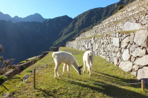
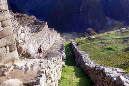
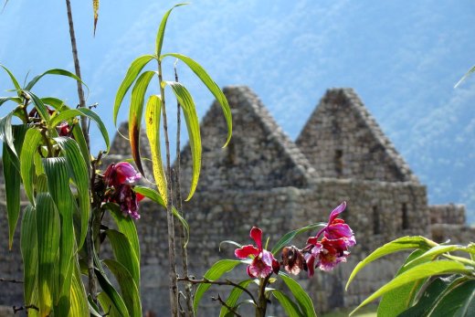
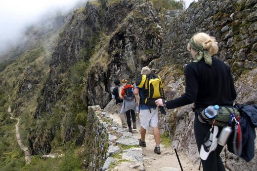
During this part of the tour we will see a great variety of flora, fauna, no doubt it will be a wonderful 4-day hike along the Inca Trail at 2,720 m / 8,923 feet. On our hike, we are heading through the Vilcanota River on the right side, while walking, and listening the current sound of its waters similar to a concert with drums. At the right moment of the river music will decide the right moment to star our overture and like the wind of this nature valley start the abrupt ascent through the cloud forest, on this original cobbled Inca road.
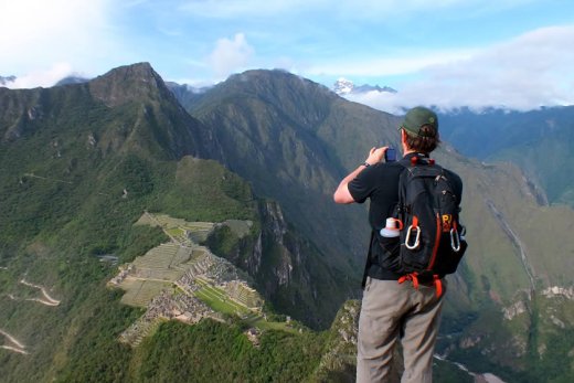
After a good walk we will see the magnificent Inca fortress called 'Huillca Raccay', and beautiful Inca site of 'Patallacta'. All this beauty will always be accompanied by the Urubamba mountain range that divides the jungle, the Andes and the beautiful snowy peak of 'W' Akay Willca 'at 5,860m / 19,225ft, known as the' Veronica '.
During this first tour there will be a lot of beauty to admire, converting the 4-day walk along the Inca Trail, an incredible encounter with the Andean nature. Now we will install our first camp near the small village of Wayllabamba 3, 000m / 9, 842ft in the temperate green valley of the same name. The night temperatures are around 5ºC (depending on the month).
- Breakfast: it is not included in this day.
- Meals: L, D
- Total distance: 12 km (7.47 miles)
- Estimated walking time: 5-6 hours
- Altitude of the highest point: 3,000 masl (9,840 ft)
- Altitude of the camp: 3,000 masl (9,840 ft)

